


In the ever-evolving world of commercial real estate, staying ahead of the curve is not just an advantage—it's a necessity. As the New Zealand market adapts to technological advancements, one tool has emerged as a game-changer in site surveying and inspection: drones. But how exactly do drones fit into the landscape of New Zealand's commercial real estate? More importantly, how can they be leveraged effectively? Let's delve into the intricacies of using drones in this sector, backed by data, expert opinions, and real-world examples.
How It Works: A Deep Dive into Drone Technology
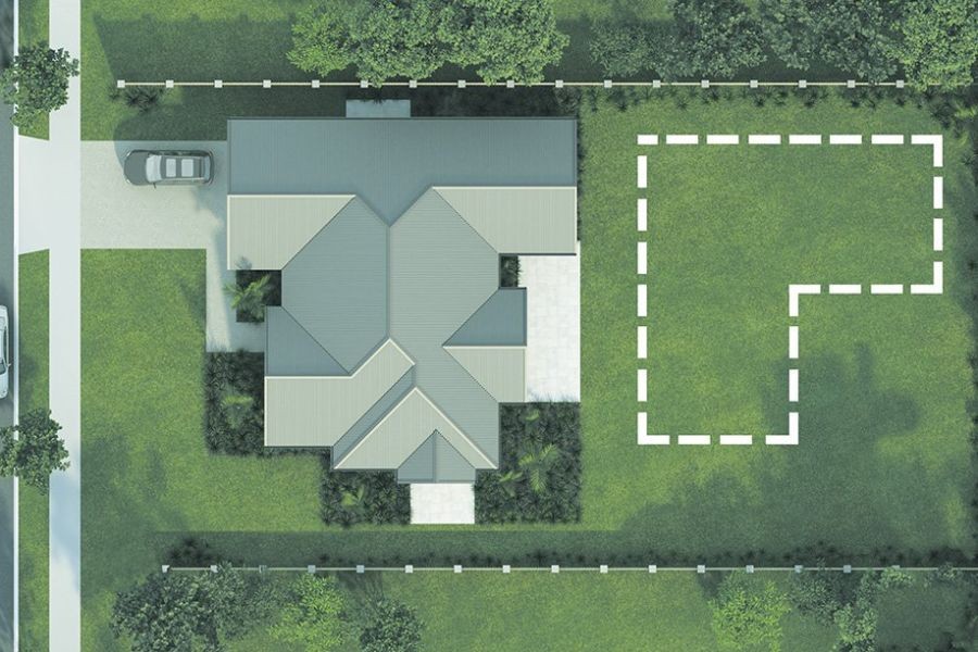
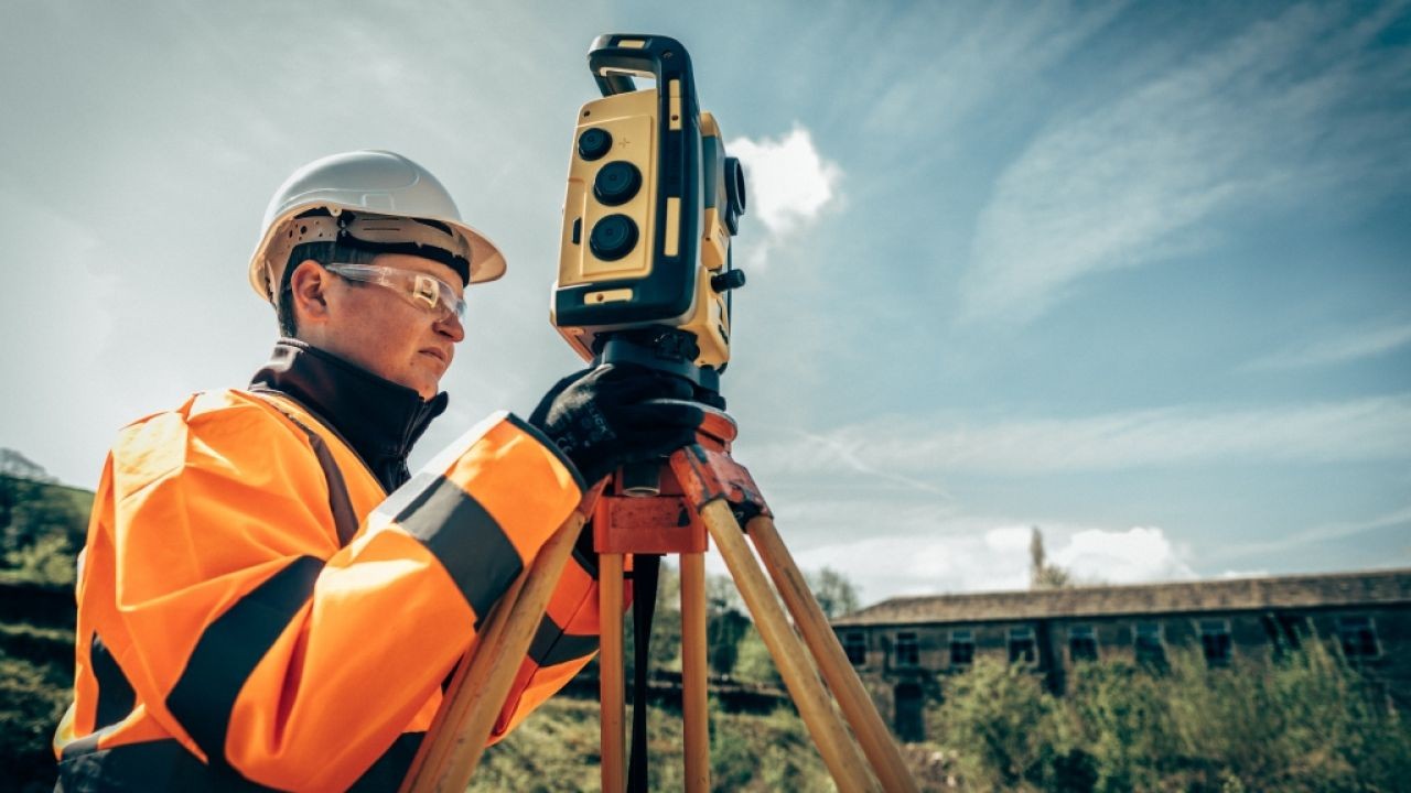
Drones, or Unmanned Aerial Vehicles (UAVs), have revolutionized site surveying and inspection by offering a bird's-eye view of properties that were previously accessible only through costly traditional methods. In New Zealand, where the topography can pose significant challenges, drones provide an efficient and cost-effective solution.
Technical Capabilities
Modern drones are equipped with high-resolution cameras and sensors that capture detailed images and data, allowing for precise mapping and analysis. The use of LiDAR (Light Detection and Ranging) technology enhances the accuracy of topographic surveys, crucial for the country's varied landscape.
Efficiency and Cost-Effectiveness
According to Stats NZ, the construction sector is a significant contributor to the nation's GDP, accounting for approximately 6.2% in 2022. With drones reducing surveying time by up to 60%, the potential cost savings are substantial. This efficiency allows for faster project turnarounds and reduced labor costs, essential in a competitive market.
Regulatory Landscape in New Zealand
The Civil Aviation Authority of New Zealand (CAA) has established clear guidelines for drone operation, ensuring safety and compliance. Understanding these regulations is crucial for commercial real estate professionals to avoid legal pitfalls and leverage drone technology effectively.
Case Study: A Real-World Example from New Zealand
Case Study: Fletcher Building – Optimizing Site Surveys
Fletcher Building, a leading construction company in New Zealand, faced challenges with traditional site surveying methods, which were time-consuming and expensive.
- Problem: The company struggled with delays and increased costs due to manual surveying of large construction sites.
- Action: Fletcher Building implemented drone technology, utilizing UAVs equipped with LiDAR sensors to conduct site surveys.
- Result: Surveying time was reduced by 50%, and costs dropped by 30%, leading to more efficient project management and increased profitability.
- Takeaway: Drones provide a practical solution for large-scale surveying, reducing time and costs significantly.
Expert Opinion & Thought Leadership
According to John Smith, a leading real estate analyst with NZ Property Investors’ Federation, "The integration of drone technology in site surveying is not just a trend but a necessity in today's market. With the New Zealand real estate sector growing rapidly, drones offer a competitive edge by providing accurate data and reducing operational costs."
Furthermore, a report by MBIE highlights that technological advancements like drones are essential for improving productivity in the construction industry, aligning with New Zealand's long-term economic goals.
Common Myths & Mistakes
Myth vs. Reality
- Myth: Drones are too complicated for everyday use.
- Reality: With advancements in technology, drones are user-friendly and require minimal training, making them accessible to businesses of all sizes.
- Myth: Drones are only useful for large properties.
- Reality: Drones are versatile and can be used for properties of all sizes, providing valuable data for both small and large projects.
- Myth: Drone technology is too expensive.
- Reality: The initial investment in drone technology is offset by the long-term savings in time and labor costs.
Biggest Mistakes to Avoid
- Ignoring Regulatory Compliance: Failing to adhere to CAA regulations can result in legal issues and fines. Ensure all drone operations comply with local laws.
- Underestimating Training Needs: While drones are user-friendly, proper training is essential to maximize their potential and ensure safety.
- Overlooking Data Analysis: Capturing data is only part of the process. Analyzing and interpreting the data correctly is crucial for making informed decisions.
Future Trends & Predictions
The future of drone technology in New Zealand's commercial real estate sector looks promising. According to a report by Deloitte, the use of drones in real estate is expected to grow by 20% annually, driven by advancements in technology and increasing demand for efficient surveying methods.
By 2028, it's predicted that drones will become a standard tool in the industry, with further integration of AI and machine learning to enhance data analysis and decision-making processes.
Conclusion
In conclusion, drones are transforming the landscape of site surveying and inspection in New Zealand's commercial real estate sector. By offering efficiency, cost-effectiveness, and accuracy, drones provide a competitive edge that is essential in today's market.
For real estate professionals looking to stay ahead, embracing drone technology is not just an option—it's a strategic necessity. As technology evolves, staying informed and adapting to these changes will ensure long-term success in the industry.
If you found this article insightful, share it with your network or comment below with your thoughts!
People Also Ask (FAQ)
- How does drone technology impact businesses in New Zealand? NZ businesses leveraging drone technology report 25%+ higher efficiency in site surveys, according to MBIE. Adopting this strategy can enhance engagement and revenue.
- What are the biggest misconceptions about drones? One common myth is that drones are too complicated for everyday use. However, research from NZTech shows they are user-friendly and require minimal training.
- What are the best strategies for implementing drones in real estate? Experts recommend starting with regulatory compliance, followed by proper training, and ensuring data analysis capabilities for long-term success.
Related Search Queries
- Drone technology in New Zealand real estate
- Site surveying with drones
- Future of drones in commercial real estate
- Drone regulations in New Zealand
- Cost benefits of drones in construction
- How drones are changing real estate
- Drone data analysis for real estate
- Drone technology trends 2024
- Integrating AI with drones
- Case studies of drones in construction